


| | | | The Haute Route I |
Photos and text by Jonathan Carr
200km walking across Switzerland... and a few hills along the way... here is a modest selection of... errr.. 140 slides!
Click on the small pictures to get BIG pictures... or follow the slide show (where pictures are presented in order) by pressing the arrow at the bottom of the page. Beware! you need as many colours free as possible - run netscape or whatever with its own private colour map... better still use another viewer for the images (Netscape is terrible)... or even better get a 24-bit monitor!
For a brief story.
Links
text & links |
Alps Index | Alps II - overview |
Alps III - overview |
|
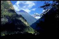 |
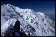
| Mt Blanc... (68k) | Gorges du Trient! (61k) |

|
 |
| Leaving the Col du Bertol... (30k) | Mt Velan (65k) |
|
 |
| On the Pigne d'Arolla (35k) | Col du Bertol... (44k) |

|
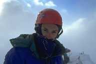 |
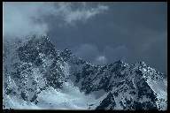
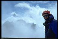
| Aiguilles du Chamonix (51k) | Summit of Mt Blanc (30k) |
|
|
|
|
|
|
 | |
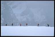
| Summit ridge, the Breithorn... (35k) | |
|
|
|
|
|
|
|
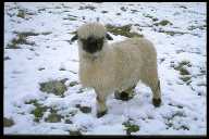 |
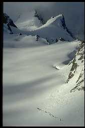
| Descending the ?? glacier to Zermatt (31k) | Alpine sheep (62k) |